-
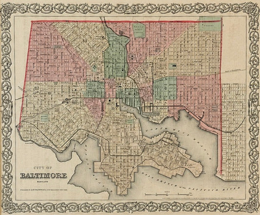
Antique Baltimore, Maryland City Map | Hand-Colored Engraving | Custom Framed
Regular price $525.00 USDRegular priceUnit price per -
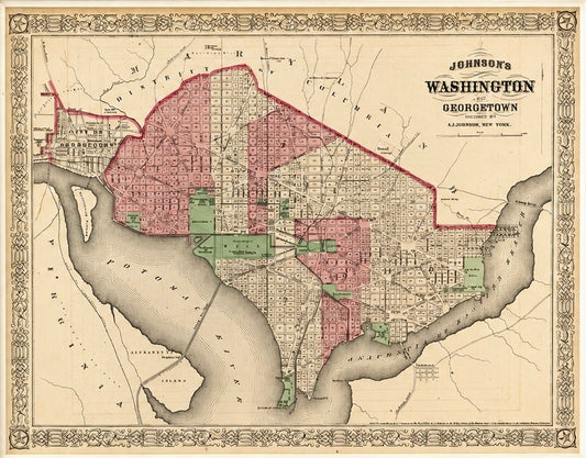
Washington, D.C. & Georgetown Map by A.J. Johnson, Circa 1868, Custom Framed
Regular price $550.00 USDRegular priceUnit price per -
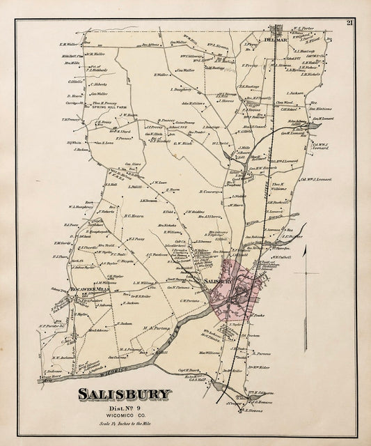
Salisbury, Maryland & Rocawakin Mills, 1877
Regular price $150.00 USDRegular priceUnit price per -
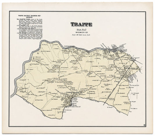
Trappe: Upper Ferry, Shad Point, and Fruitland in Wicomico County, Maryland, 1877
Regular price $150.00 USDRegular priceUnit price per -
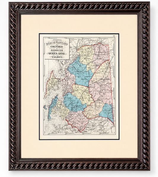
Talbot, Queen Anne & Caroline | Original 1873 Maryland Counties Map – Stedman & Brown
Regular price $385.00 USDRegular priceUnit price per -
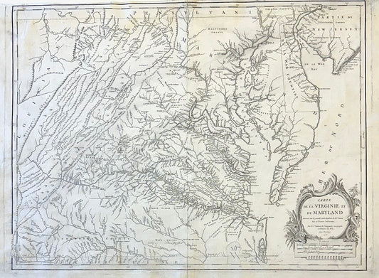
1755 Fry & Jefferson Map of Virginia and Maryland — “Carte de la Virginie et du Maryland” (Thomas Jefferson’s Father as Surveyor)
Regular price $2,100.00 USDRegular priceUnit price per -
Map of the Eastern United States and Ohio River Valley by Vaugondy, 1755
Regular price $1,200.00 USDRegular priceUnit price per -
Chesapeake Bay: Virginia, Maryland, Pennsylvania & New Jersey Original Map by Senex, 1721
Regular price $5,200.00 USDRegular priceUnit price per -
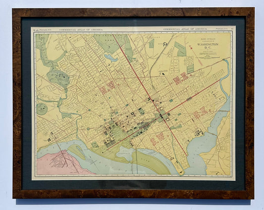
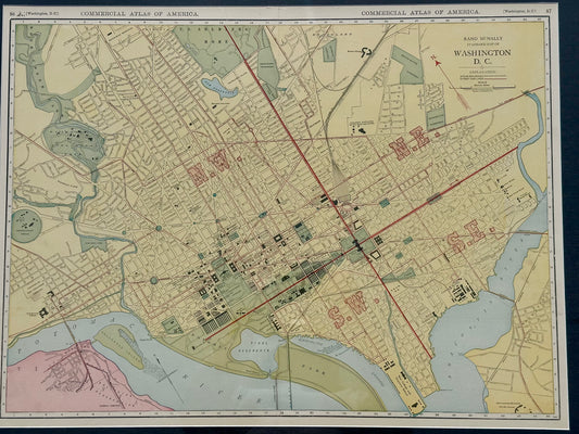
Washington, DC by McNally, 1897
Regular price $465.00 USDRegular priceUnit price per -
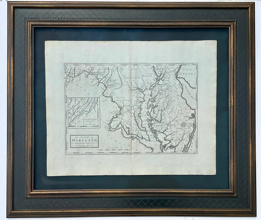
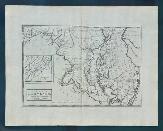
Maryland, 1st edition by Matthew Carey, 1795
Regular price $2,150.00 USDRegular priceUnit price per -
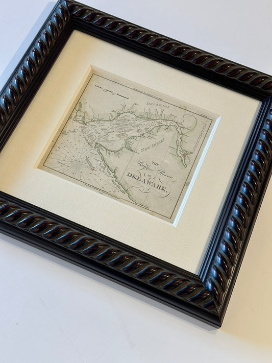
Coastal Chart: Bay & River of Delaware by Edmund Blunt, 1833 (framed)
Regular price $650.00 USDRegular priceUnit price per -
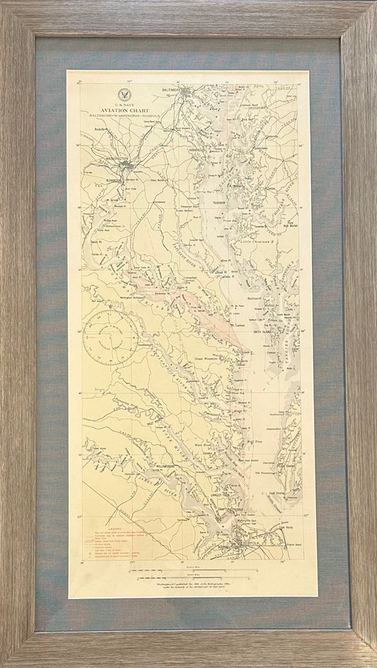
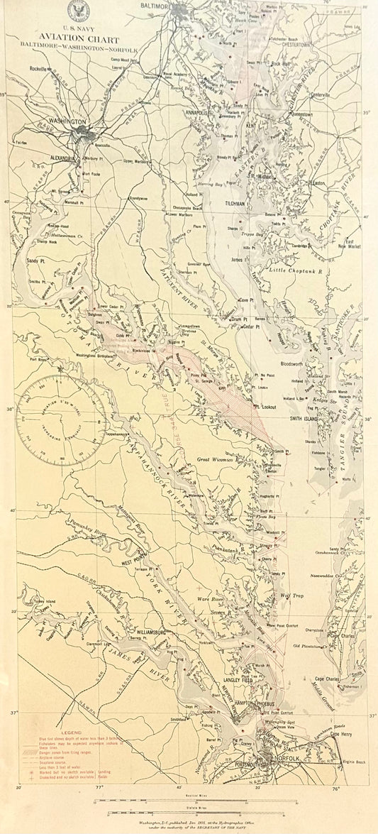
Baltimore, Washington, Norfolk Aviation Chart of Chesapeake, 1925 (Framed)
Regular price $425.00 USDRegular priceUnit price per