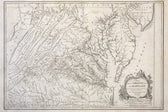
Shop›1755 Fry & Jefferson Map of Virginia and Maryland — “Carte de la Virginie et du Maryland” (Thomas Jefferson’s Father as Surveyor)
SOLD

Map
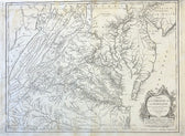
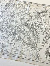
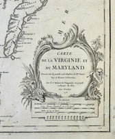
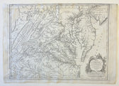
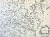
1755 Fry & Jefferson Map of Virginia and Maryland — “Carte de la Virginie et du Maryland” (Thomas Jefferson’s Father as Surveyor)
SOLD
This piece has found a home and is no longer available. Ask us about similar pieces →
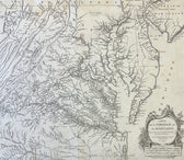
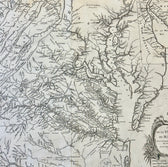
Guaranteed Authentic OriginalOriginal copperplate engraving from Carte de la Virginie et du Maryland, first issued in 1755 by Joshua Fry and Peter Jefferson, father of Thomas Jefferson. This landmark colonial map is widely regarded as the most important and accurate map of Virginia produced in the 18th century and remained the standard geographic reference for decades. Prepared on the eve of the...
- TypeMap
- AuthenticityDocumented · guaranteed genuine
● Free delivery throughout coastal Delaware
● In-home hanging available
You May Also Like
— From the Collection —
View Piece
Map
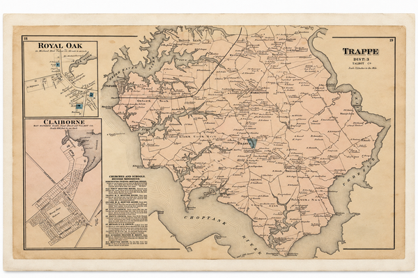
Map of Trappe & Royal Oak, Talbot County, Maryland — Lake, Griffing & Stevenson, 1877
$250
View Piece
Map
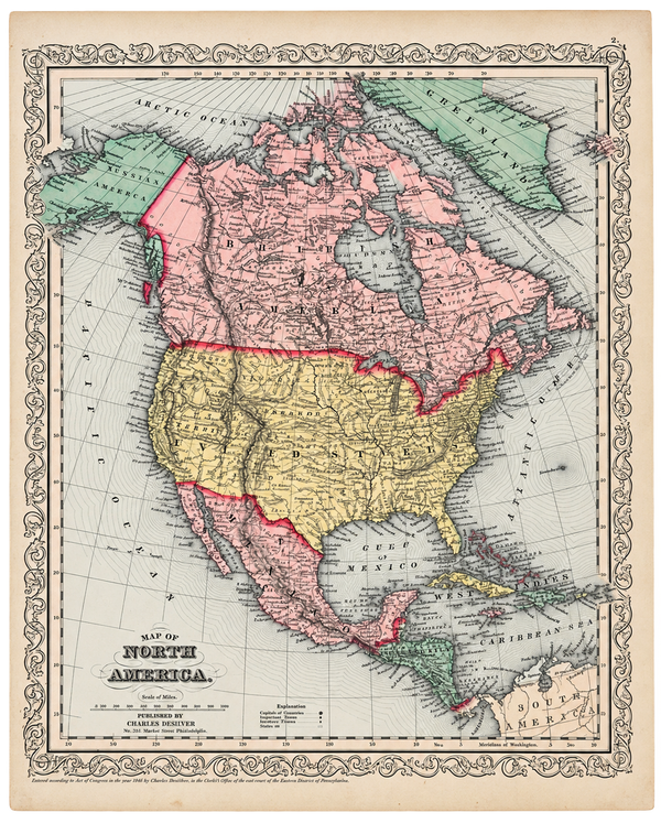
North America Map by Charles DeSilver, 1858
$200
View Piece
Map
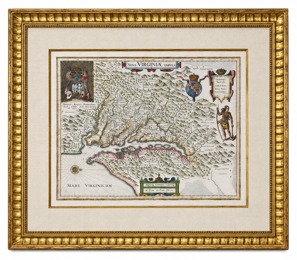
Historic Virginia & Chesapeake Bay Map by Willem Blaeu 1635 (custom framed, gold-leaf)
$4,800
View Piece
Print
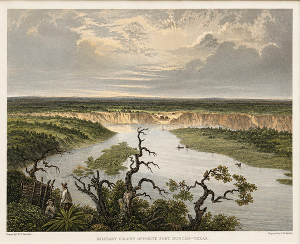
Fort Duncan & Eagle Pass Texas Original Steel Engraving, J.B. Smillie, c. 1860
$75