Collection: Maps
Explore our curated collection of authentic antique maps at Antique Prints, Inc., where history and artistry converge. Our selection spans the 16th to 19th centuries, featuring detailed representations of regions such as Delaware, Maryland, and broader North America. Each map is a testament to the cartographic craftsmanship of its era, offering a unique glimpse into the world's past.
-
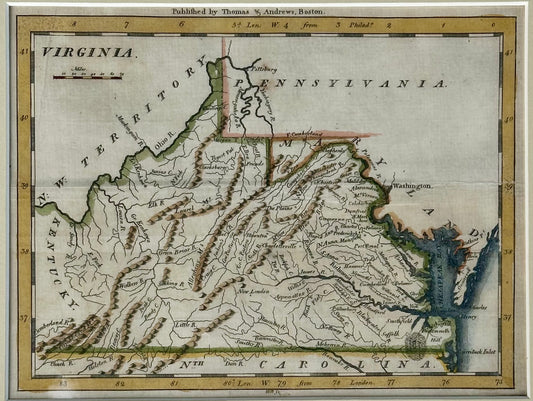
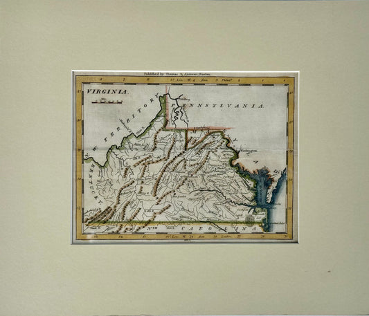
Viriginia from Morse’s Universal Geography, 1796
Regular price $425.00 USDRegular priceUnit price / per -
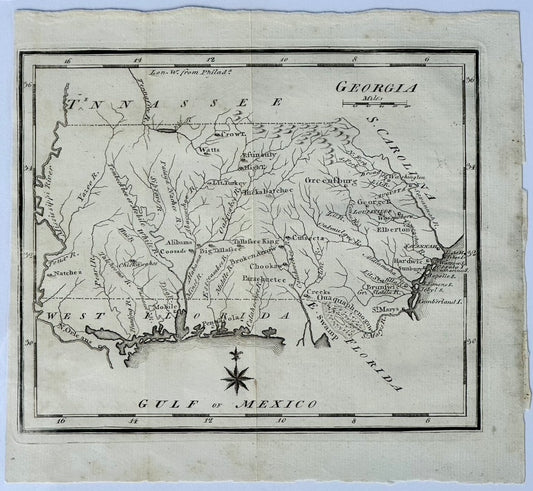
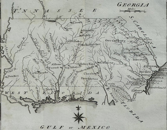
Map of Georgia & West Florida by Joseph Scott, 1795
Regular price $325.00 USDRegular priceUnit price / per -
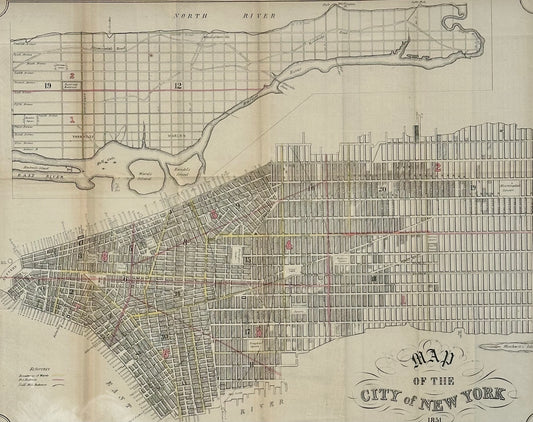
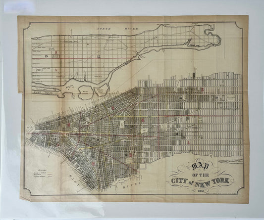
New York City, Original lithograph, 1851
Regular price $395.00 USDRegular priceUnit price / per -
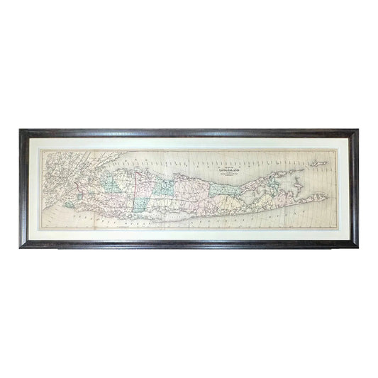
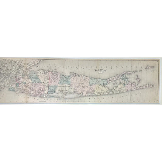
Map of Long Island from Beer's Atlas, Framed
Regular price $3,900.00 USDRegular priceUnit price / per -
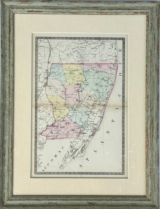
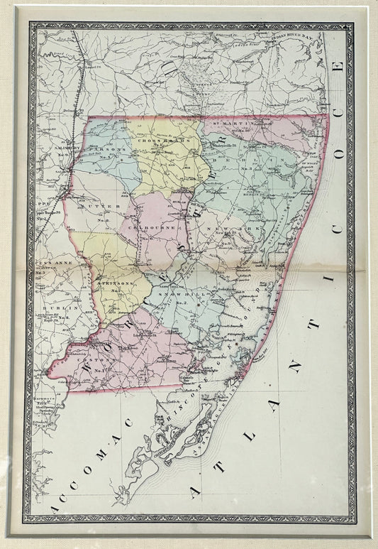
Map of Worcester County, Maryland (Berlin, Assateague, Isle of Wight), 1873
Regular price $550.00 USDRegular priceUnit price / per -
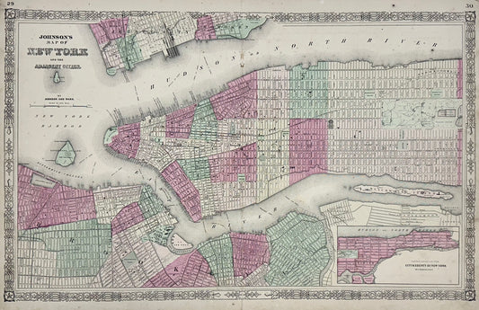
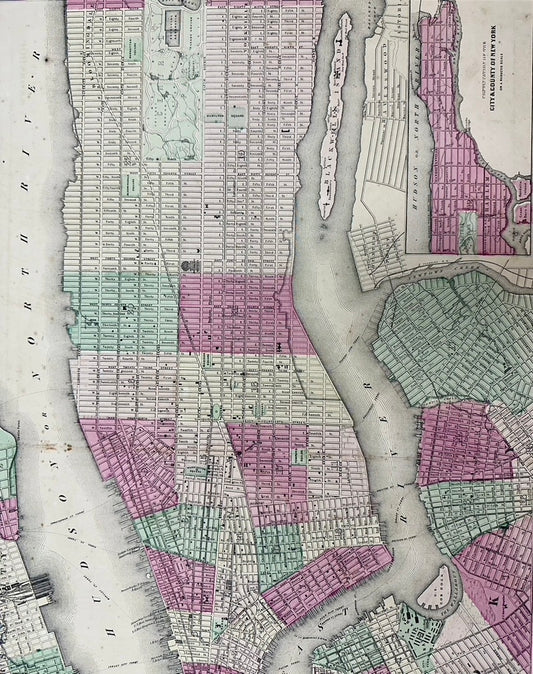
New York City Map by Johnson, 1864
Regular price $675.00 USDRegular priceUnit price / per -
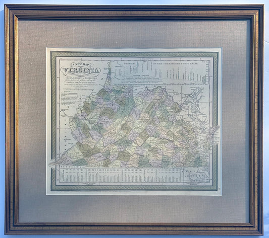
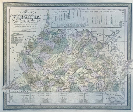
Map of Virginia by Cowperthwait, 1851
Regular price $525.00 USDRegular priceUnit price / per -
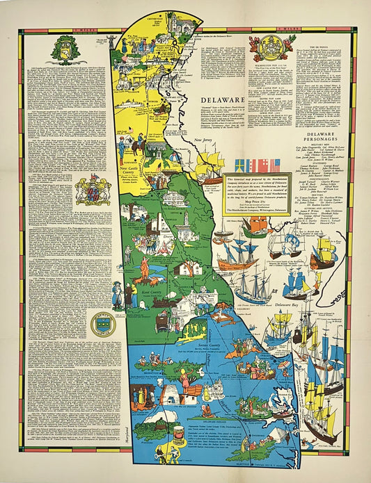
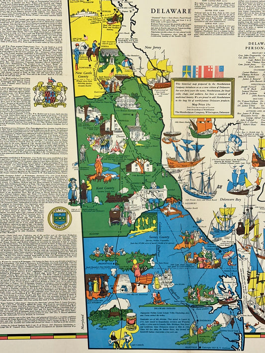
Pictorial Map of Delaware, 1937
Regular price $475.00 USDRegular priceUnit price / per -
Map of Maryland by Matthew Carey, 1805
Regular price $625.00 USDRegular priceUnit price / per -
Alexandria, Virginia Town Plan, Framed
Regular price $2,950.00 USDRegular priceUnit price / per -
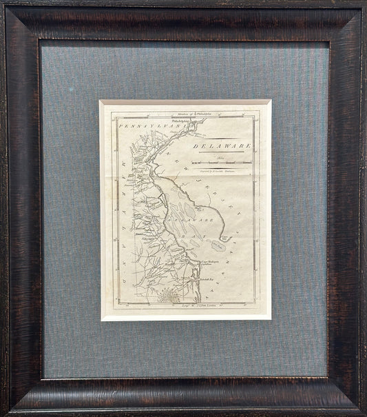
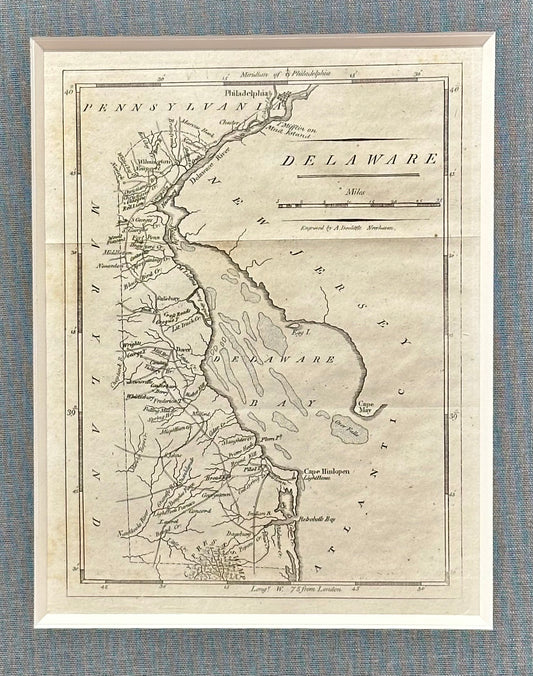
Map of Delaware by Matthew Carey, 1805
Regular price $625.00 USDRegular priceUnit price / per -
Delaware by Fielding Lucas, 1823
Regular price $1,100.00 USDRegular priceUnit price / per
